


The National Weather Service says Webster Parish may see hazardous weather Wednesday through Monday.
A cold front moving into the region may cause isolated thunderstorms Wednesday afternoon, becoming more numerous by Thursday.
Any severe threat will diminish after sunset on Wednesday, which has a 40 percent chance of thunderstorms. The high Wednesday is 87 with a low of 68.
Thursday brings a 40 percent chance of thunderstorms, with a high of 77 and a low of 53. Friday should be sunny with a high of 71 and a low of 47.

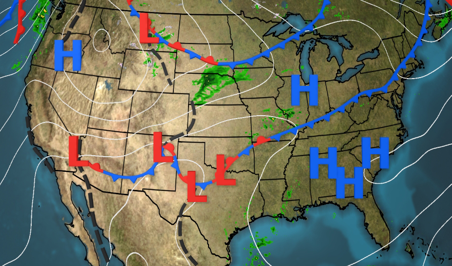
While this area braces for cold front-induced hazardous weather, other areas of the nation are experiencing above average temperatures Wednesday. The central and eastern United States have a large dome of high pressure that will allow temperature to be 10 to 20 degrees above average. Record high temperatures are possible with highs expected to reach the 80s and 90s across the nation.